
Kazakhstan District Map – A Helpful Guide From Site Selection to Sales
Boost Oil Productivity and Delivery Using a Kazakhstan District Map
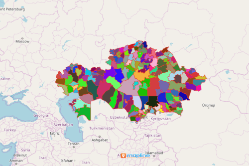
Consulting a Kazakhstan district map brought a great impact in oil and gas companies. Kazakhstan is a country situated in Asia. It is the 9th largest country in the world. It is made up of 177 districts. Kazakhstan has a rich economy mainly because of oil and gas. Hence, it is highly important to analyze each district boundary. Doing so reveals deeper insight from patterns between locations. Viewing the map makes it possible for the companies to pinpoint which areas are viable for new site locations. In addition, it shows which areas have market potentials. Moreover, it also confirms relationships between locations and their respective boundaries.
A map of Kazakhstan districts can be shared to people within the organization. One good thing about sharing a map is that it aligns people and processes. Additionally, it enables the organization to work as one. Leaders with whom the map is shared can provide their inputs and ideas, thereby answering complex questions in a timely manner. Thus, improved collaboration is maintained.
Maximize the Full Potential of Kazakhstan District Map
Give access to your map to maximize its full potential! Mapline makes it easy to for you to create a map and share it in just a few minutes!
- Create a Mapline account and login.
- Click the orange “Add New Items” button.
- Select “New Map” on the drop down arrow.
- Give your map a name and click “OK.”
- Click the “Add” button from the left sidebar.
- Select the “Territories” option.
- Click “From Mapline’s Repository.”
- From the “Territories” select “Kazakhstan Districts.” Use the search bar for quicker results.
- Select how you want your boundaries to be colored in “Fill Color” (Random Colors, Uniform Color, or Custom colors from spreadsheet).
- Click “OK.”
Capture the importance of mapping in district-level. Sign up now to discover data-driven insights using powerful mapping tools from Mapline.