
Mapping Subjects of The Russian Federation
Understanding the Geographical Details of Russian Federation Subjects
Russia is the largest country in the world. Many may be threatened to understand its geographic boundaries. But fear not! Why? Because Mapline offers territory boundaries of Russia! Now, you can understand the country’s different administrative levels. Mapping the subjects of the country definitely helps in geographical analysis. How?
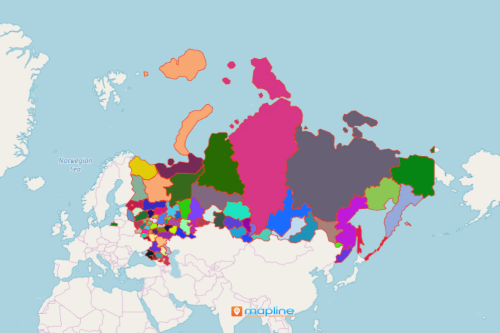
First, a map with the 83 subjects of Russia brings in more insights. In addition, it shows patterns and possibilities that may be unrecognized when only looking at Excel spreadsheet data. For example, discover the patterns that are useful in decision making, monitoring areas, or risk management. Everything can be clearly shown on a map with boundaries.
The Need to Map Russia Starts Here
Moreover, mapping subjects of Russian Federation is made easier with these steps:
- Create a Mapline account and login.
- Click the orange “Add New Items” button.
- Select “New Map” on the drop down arrow.
- Give your map a name and click “OK.”
- Click the “Add” button from the left sidebar.
- Select the “Territories” option.
- Click “From Mapline’s Repository.”
- From the “Territories” select “Russia – Federal Subjects.” You can also enter that on the search bar.
- Select how you want your boundaries to be colored in “Fill Color” (Random Colors, Uniform Color, Dynamic heat map colors, or Custom colors from spreadsheet).
- Click “OK.”
Once your map is built, create a heat map for deeper analysis. Tap unrecognized potentials by building a map of Russia Federal Subjects! Sign up now to start looking for infinite possibilities.