
Business Growth Planning Using a Taiwan District Map
Monitor Sustainable Business Growth Using a District-Level Map
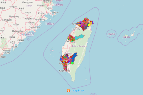
More and more business organizations are now inclined to use a Taiwan district map to discover the best locations for their business. They understand that location is the key to success in the business. To do this, they use one effective tool – a district map! A territory map empowers the users to visualize and analyze the business growth potentials. Combining location data to their map is a proven strategic approach that helps organizations to attract new business, identify opportunities, improve sales, and tap new markets.
Another benefit of using a data-driven territory map is that it allows the users to segment customer data. Data segmentation is an effective way to focus on specific location data for customized data analysis. It shows only the locations that you need to view thereby hiding those that aren’t part of the analysis. By removing unnecessary pins on a map, the relationship between data and territory boundaries makes more sense.
Segment Your Data on a Taiwan District Map
Creating a territory map is really simple. Just follow these steps:
- Create a Mapline account and login.
- Click the orange “Add New Items” button.
- Select “New Map” on the drop down arrow.
- Give your map a name and click “OK.”
- Click the “Add” button from the left sidebar.
- Select the “Territories” option.
- Click “From Mapline’s Repository.”
- From the “Territories” select “Taiwan Districts.” You can also enter that on the search bar.
- Select how you want your boundaries to be colored in “Fill Color” (Random Colors, Uniform Color, Dynamic heat map colors, or Custom colors from spreadsheet).
- Click “OK.”
Once your map is generated, you can apply the segmentation tool. Be more creative with data segmentation. Add a three-layer map or color-code your territory boundaries. All these and more when you sign up now and start mapping!