
Address Provincial Issues Well Using a Taiwan Province Map
Getting Sense From Mapping Province Boundaries
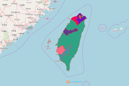
The local government units always rely on a Taiwan province map to address issues or solve problems. Taiwan is a distinct Asian country. It is divided into subnational divisions, each governed by a legislative body. Some duties of the local government include education, environmental protection, public safety, social services, transport, urban planning, water management, and more. Therefore, analyzing a province map is needed. It brings in new patterns that are clearly understood. Moreover, it provides a correct focus on what leaders should prioritize.
A province map gives an in-depth provincial level analysis that result in new ideas for project planning. By adding market data, you can see insights you have never even imagined.
Use Insights From Creating a Taiwan Province Map
Make yourself a province map in just a few seconds. Once generated, share information, observations, and awareness to other agencies to better monitor and manage each province.
- Create a Mapline account and login.
- Click the orange “Add New Items” button.
- Select “New Map” on the drop down arrow.
- Give your map a name and click “OK.”
- Click the “Add” button from the left sidebar.
- Select the “Territories” option.
- Click “From Mapline’s Repository.”
- From the “Territories” select “Taiwan Provinces.” You can also enter that on the search bar.
- Select how you want your boundaries to be colored in “Fill Color” (Random Colors, Uniform Color, Dynamic heat map colors, or Custom colors from spreadsheet).
- Click “OK.”
True enough, mapping on a provincial level adds key points to address issues that work suitable for each province. Sign up now to begin mapping!