
Enable Better Planning by Mapping Finland Sub-regions
How to Maximize The Use of Sub-region Boundary in Mapping
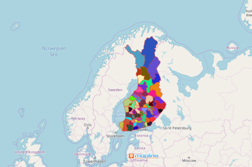
Some government offices look for particular territory boundaries to tailor-fit their data analysis on a specified boundary. For example, consider mapping Finland sub-regions. The sub-regions are a distinctive territory boundary of the country. Finland has 70 sub-regions. They are divided in such a way that some municipalities are grouped together. This special boundary is used by government offices to suit their data analysis on a much defined territory.
To remain true to its commitment to provide only the powerful mapping tools, Mapline designed a tool where you can overlay unique boundaries to your map. The sub-regions boundary of Finland is one of these and it is available to use!
Mapping Sub-regions : A Significant Resource for In-Depth Analysis
Create a map for less than a minute to start your data analysis immediately:
- Create a Mapline account and login.
- Click the orange “Add New Items” button.
- Select “New Map” on the drop down arrow.
- Give your map a name and click “OK.”
- Click the “Add” button from the left sidebar.
- Select the “Territories” option.
- Click “From Mapline’s Repository.”
- From the “Territories” select “Finland Sub-regions.” You can also enter that on the search bar.
- Select how you want your boundaries to be colored in “Fill Color” (Random Colors, Uniform Color, Dynamic heat map colors, or Custom colors from spreadsheet).
- Click “OK.”
Enable better community planning by mapping today. Sign up now and learn how to further protect, assist, and care for your community by mapping.