
Mapping Lithuania Municipalities is Valuable in the Planning Process
Municipality-Level Mapping to Identify Priorities and Problems
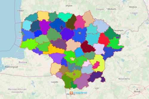
Municipalities are deemed as the most important unit of administration in Lithuania. Hence, more and more organizations are mapping Lithuania municipalities. The country has 60 municipalities. There are many uses of a municipality map. For instance, it is used in business operations, sales, marketing, finance, logistics, and more. Mapping territory boundaries with location data is a key component in planning applications and processes. Through a powerful map visual, the users are able to determine problems and challenges from each municipality. Accordingly, they are also able to pinpoint the strengths of each area.
There is a great potential in continued use of a map with municipality boundaries. It can be shared or embedded on a website. This mapping capability allows more dedicated individuals to analyze the map and pitch their ideas. True enough, ideas flourish just by looking at it! These actionable insights are pertinent to critical decision making.
From Simple Mapping to Powerful Data Visualization
You may think that a map this powerful may be complex to use. Not at all! When overlaying a municipality border on a map, you don’t need to waste too much time. Easy mapping takes only a few clicks:
- Create a Mapline account and login.
- Click the orange “Add New Items” button.
- Select “New Map” on the drop down arrow.
- Give your map a name and click “OK.”
- Click the “Add” button from the left sidebar.
- Select the “Territories” option.
- Click “From Mapline’s Repository.”
- From the “Territories” select “Lithuania Municipalities.” You can also enter that on the search bar.
- Select how you want your boundaries to be colored in “Fill Color” (Random Colors, Uniform Color, Dynamic heat map colors, or Custom colors from spreadsheet).
- Click “OK.”
Whether you use a map for business, or for community service, you can never go wrong with overlaying territory boundaries. Sign up now to know how other mapping tools help in planning process.