
Poland County Map – Vital Tool to Attract New Business Ventures
County-Level Mapping for Business Planning
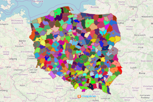
A Poland county map plays a major role in data analysis, business planning, and creating market strategies. Poland is a rich country located in Central Europe. It is divided into 300 counties. Because its economy is one of the fastest growing in Europe, more and more investors and entrepreneurs are looking for ways to establish businesses there. Excel data and a county map teams up to produce a powerful map visual that lets you see where growing economies and emerging markets are.
Mapline provides a lot of powerful mapping options to provide your organizations the needed tools to analyze data for smart business decision-making. You can have an option to filter your data to have a more focused business analysis. As your map pins are customized, more trends and patterns are uncovered that may be otherwise overlooked. On the other hand, a radial heat map helps to monitor your business activities. These and many other mapping tools lead to better business planning, marketing, and territory management.
Stay 10 Steps Ahead of the Competition with a Poland County Map
You are 10 steps away to stay ahead of the competition. Why? Because it only takes 10 easiest steps to create a Poland county map:
- Create a Mapline account and login.
- Click the orange “Add New Items” button.
- Select “New Map” on the drop down arrow.
- Give your map a name and click “OK.”
- Click the “Add” button from the left sidebar.
- Select the “Territories” option.
- Click “From Mapline’s Repository.”
- From the “Territories” select “Poland Counties (2019).” You can also enter that on the search bar.
- Select how you want your boundaries to be colored in “Fill Color” (Random Colors, Uniform Color, Dynamic heat map colors, or Custom colors from spreadsheet).
- Click “OK.”
Sign up now to experience first hand other mapping tools to enhance your business and market planning.