
Uncover Location-Based Insights by Using Ukraine District Map
Improve Data Interaction with District-Level Mapping
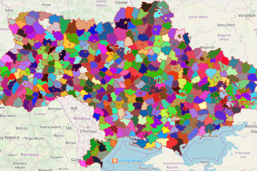
If you think that a Ukraine district map is just a simple territory map, you better think again. When an Excel spreadsheet of location data is added, it results in a powerful data analysis. Ukraine is a very large country located in Europe. It is divided into 136 districts. Because of its part in exporting grains, the country is also known as the “Breadbasket of Europe.” Turn a simple district map into a data visualization with an impact! Discover location-specific insights by using other mapping tools. Segment your data to show how locations interrelate with their territories in different ways.
Another mapping tool that helps uncover data insights is the distance calculator. This tool is significant when looking for the perfect location to expand business or to target a new market. By measuring distances, key areas are identified. It minimizes tons of hours in location analysis thereby focusing more on business expansion or asset accumulation.
Use Ukraine District Map for Improved Efficiency
Who says mapping is complicated obviously haven’t encountered Mapline – the easiest mapping software on the planet! Follow these steps and be surprised to learn how really simple it is to build a map:
- Create a Mapline account and login.
- Click the orange “Add New Items” button.
- Select “New Map” on the drop down arrow.
- Give your map a name and click “OK.”
- Click the “Add” button from the left sidebar.
- Select the “Territories” option.
- Click “From Mapline’s Repository.”
- From the “Territories” select “Ukraine Districts.” You can also enter that on the search bar.
- Select how you want your boundaries to be colored in “Fill Color” (Random Colors, Uniform Color, Dynamic heat map colors, or Custom colors from spreadsheet).
- Click “OK.”
Sign up now and learn how to use other mapping tools to help you with tapping new growth opportunities for your business.