
Analyze Trends in Tourism Industry with a Palau States Map
Mapping Palau States for a More Focused Look in Tourism
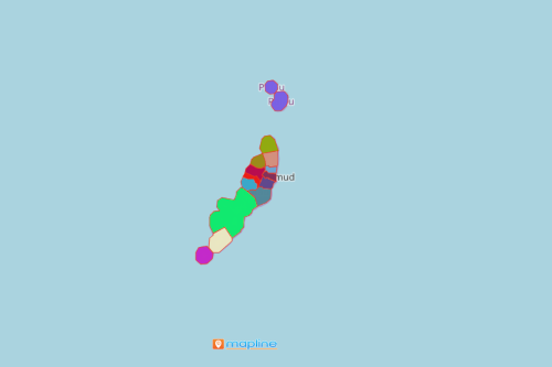
A Palau states map is often considered by many companies in the tourism industry. A map with state boundaries always brings out the best from location understanding. Palau is a beautiful island country in Oceania. It is made up of 340 islands. The country is divided into 16 states. Tourism is the key economic factor in Palau. Hence, mapping the states of Palau is a helpful tool to analyze the business tourism data per state. Additionally, a map of Excel spreadsheets is an ideal tool to identify tourism trends. Moreover, it helps to predict whether a tourism-based initiative may succeed or fail.
Mapping tools such as territory analysis or territory heat maps have been trusted and used for many years to explore ways to boost tourism. Without such tools, data analysts are still spending days combing through reports in Excel rows and columns. Therefore, mapping is the key to simplify analysis and work on steps to apply actionable insights.
Stories That a State-Level Map Tells
Maps with state boundaries can be created in just 10 simple steps. Once generated, stories of patterns and connections between locations and boundaries will become evident.
- Create a Mapline account and login.
- Click the orange “Add New Items” button.
- Select “New Map” on the drop down arrow.
- Give your map a name and click “OK.”
- Click the “Add” button from the left sidebar.
- Select the “Territories” option.
- Click “From Mapline’s Repository.”
- From the “Territories” select “Palau States.” You can also enter that on the search bar.
- Select how you want your boundaries to be colored in “Fill Color” (Random Colors, Uniform Color, Dynamic heat map colors, or Custom colors from spreadsheet).
- Click “OK.”
If your company is in the tourism industry, we encourage you to sign up now! Enjoy the first-hand experience of using powerful mapping tools to help identify trends in the industry.