
Utilize a Tonga Division Map to Create Initiatives
How a Division-Level Map Drives Planning Initiatives
In recent years, the government’s attention turns into renewable energy. A Tonga division map definitely helps in creating solutions in this industry. Tonga, known as “Friendly Islands,” is a beautiful archipelago located in the Oceania. It is divided into 5 administrative divisions. Tonga made significant progress in terms of applying renewable energy-based solutions. How did they came up with solutions? By consulting a data-driven division map! It gives them leverage to use actionable insights from the planning stage to operation.
Furthermore, the map can be easily shared to other agencies and private sectors to achieve the same goal. The map can be shared in just a few seconds with local operators, finance institutions, and technicians. Additionally, the map can be embedded on the Solar Home Systems website. This process ensured proper monitoring of operations, maintenance and management.
How to Get Started with Division Mapping
Create, share, and embed a map in just a few minutes! Here’s how to get started:
- Create a Mapline account and login.
- Click the orange “Add New Items” button.
- Select “New Map” on the drop down arrow.
- Give your map a name and click “OK.”
- Click the “Add” button from the left sidebar.
- Select the “Territories” option.
- Click “From Mapline’s Repository.”
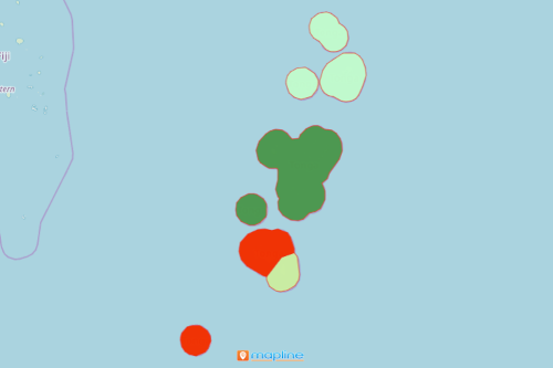
- From the “Territories” select “Tonga Administrative Divisions.” You can also enter that on the search bar.
- Select how you want your boundaries to be colored in “Fill Color” (Random Colors, Uniform Color, Dynamic heat map colors, or Custom colors from spreadsheet).
- Click “OK.”
Unlock the potentials of a division boundary for renewable energy uses. Sign up now to know the right mapping tools to use to help your organizations strategize better.