Visualize and Understand Uruguay Map with Mapline’s Territory Mapping Software
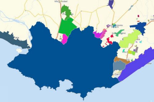
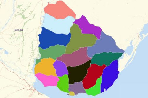
Improve your data understanding on a Uruguay map using the advanced visualization tools by Mapline’s Territory Mapping Software. The tools are used to easily identify location insights hidden in thousands of rows of Excel. Mapline gives you the advantage of identifying key data location insights as you utilize easy-to-use tools to result in a powerful visualization. Learn to create heat maps, draw customized territories, or build optimized routing in just a few clicks!


