URUGUAY CITIES
- Territory Guide
- URUGUAY CITIES
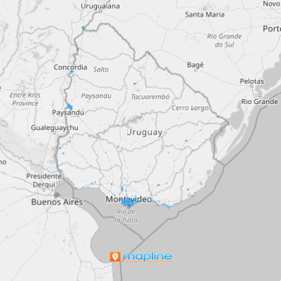
Each city in Uruguay contributes to economic improvement. To analyze data in a city-level mapping is to create your own map of Uruguay cities.
In Mapline, we make mapping simple yet so powerful that it only takes a few seconds to overlay all the cities in Uruguay in no time!
WHAT ARE URUGUAY CITIES?
Uruguay has 42 cities. The capital city is Montevideo. Since it is the central business district, it is the home of almost 1.4 million people – one third of the population of the whole country.
Get the right facts about each Uruguay city so you can be more confident in exploring more options.
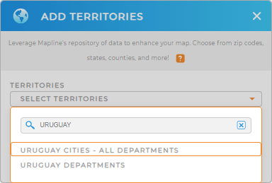
ADD URUGUAY CITIES TO MAP
Here’s a quick reference to help you get started in adding territories to your map.
With the city boundaries mapped out, speedily discover new ideas and relationships between your data and territories. Do you know what will happen when you do that? Only finding the geographic insights that will help you in long-term business decisions!


Pro Tip: Mapline provides two territory boundaries for Uruguay which can be both helpful to your geographical analysis – the department boundaries and the city boundaries.
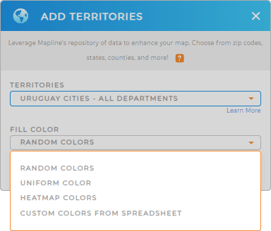
CHOOSE CITY COLORS
Before we let you go, there’s still one remaining step. That is to add colors to your territories!
Is this really important? Well, if you really want to understand geographic trends happening in each city, that’s a Big YES! Choosing the colors for your territory not only will make your map look good. More than that, it actually helps tell a story. So choose your own color style wisely and watch how your map makes a difference.

GET NEW TERRITORY INSIGHTS
Adding these capabilities will even help your map tell its own geographic story:
- Visualize routes instantly
- Optimize drive time
- Understand the pain points of your sales and operations through coverage areas
The insights you gather using these capabilities are awesome stories to tell!


