U.S. ZIP CODES
- Territory Guide
- U.S. ZIP CODES
U.S. zip codes are so much more than just postal codes. They’re key players in territory management, research, marketing, and location data analysis. The best part? Adding them to your map with Mapline is a breeze—quicker than grabbing a soda from your fridge. Ready to dive in? Let’s get started!
WHAT ARE U.S. ZIP CODES?
U.S. Zip Code boundaries are areas defined by the United States Postal Service for the efficient sorting and delivery of mail. Each zip code corresponds to a specific geographic area and is often used for addressing purposes and demographic analysis.
These boundaries provide a unique opportunity for business analytics. For example, a distribution center might leverage a U.S. zip code map to optimize delivery routes, allocate resources efficiently, and target specific customer demographics for marketing campaigns. By analyzing zip code data, the company can identify areas with high demand, streamline distribution processes, and improve overall operational efficiency.
WHEN TO CHOOSE BETWEEN 5-DIGIT AND 3-DIGIT ZIP CODES
Ever wonder whether those numbers you see are for dialing or delivering? A 3-digit area code and a 5-digit ZIP Code may look similar, but they play totally different roles. Area codes are all about connection—part of the North American Numbering Plan, they identify regions for phone calls, like (555) 555-1234, where “555” tells you the call’s geographic zone.
ZIP Codes, on the other hand, are all about direction—those five digits guide your mail right to the right city, post office, and even down to your neighborhood, like 90210 pointing to a famous Los Angeles address.
Simply put, one keeps your conversations flowing, the other keeps your letters and packages moving!
ADD U.S. ZIP CODES
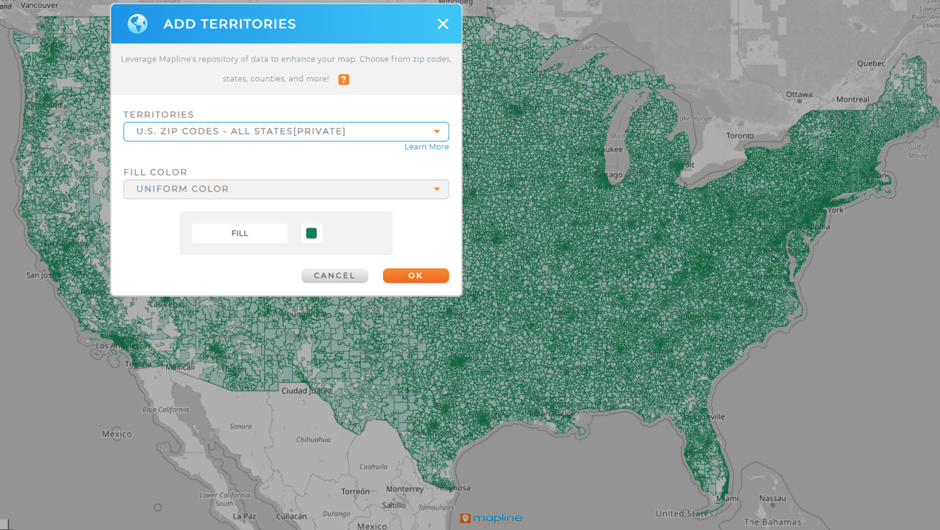
Swiftly add territories to your map and unlock key insights! Whether you’re analyzing regional market trends or managing sales territories, incorporating zip code boundaries is now a seamless process.
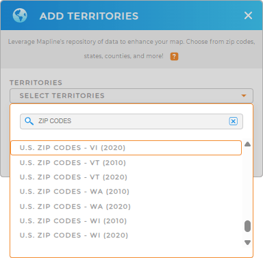
First, follow the usual steps to add a new territory from Mapline’s Repository. Next, type U.S. ZIP CODES into the search bar. Choose the state you need, and you’re good to go!
It’s as easy as that!


PRO TIP: Mapline’s Repository provides the latest zip code boundaries available from the U.S. Census Bureau. Select the most recent year from the drop-down to get the most recent boundaries.
Select 3-digit zip codes for high-level analysis, such as regional sales trends, marketing zones, or distribution strategies.
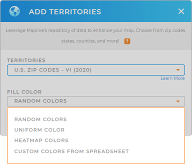
CHOOSE ZIP CODE COLORS
Let’s take it up a notch. Unlock the full potential of your data with advanced territory styling!
In moments, you can create custom territory color styles that give you a visually informative map.
This way is a true powerhouse for making your maps even more useful.

GET NEW TERRITORY INSIGHTS
Now that you’ve added U.S. zip codes to your map, you can:
- Create the most efficient routes possible in mere seconds
- Quickly run advanced calculations within your territory dataset
- Enhance your territory insights with U.S. Demographic Data


