
Dimensional BI Analysis on a Map of Brunei Villages
Communicate New Information with BI Charting
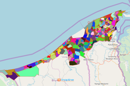
A map of Brunei villages may be significantly used when showing results or to communicate insights. Brunei is a small and wealthy country located on the northern part of Borneo in Southeast Asia. It is divided into several villages led by a village head. Mapline empowers you to have a new perspective when it comes to data analysis. In a few clicks, your map is not just a visual representation of territory boundaries. More than that, it becomes a dashboard where you can present charts, graphs, and reports that can be easily understood and shared to others. To make it even better, charts and graphs are customizable to provide real-time updates.
What makes the charts, reports, and graphs even better is that you can adjust the data in a snap! Just right click on any graph, report, or chart, and do the adjustments right away. You can also filter the data to refine your data so it only shows the needed elements from your unstructured data.
Effectively Communicate with Dynamic BI
Create a Brunei map of villages in seconds. After adding your data, you can start creating displays of your information on our dashboard system that can be shared to anyone who needs an update.
- Create a Mapline account and login.
- Click the orange “Add New Items” button.
- Select “New Map” on the drop down arrow.
- Give your map a name and click “OK.”
- Click the “Add” button from the left sidebar.
- Select the “Territories” option.
- Click “From Mapline’s Repository.”
- From the “Territories” select “Brunei Villages.” Use the search bar for quicker results.
- Select how you want your boundaries to be colored in “Fill Color” (Random Colors, Uniform Color, or Custom Colors From Spreadsheet).
- Click “OK.”
Reveal valuable insights from a map of Brunei Villages with the most dynamic BI charting software! Sign up now and unlock the full potential of your data. Learn how you can create more complex automations with Mapline’s BI and Mapline’s Automate.