ECUADOR PROVINCES
- Territory Guide
- ECUADOR PROVINCES
Add Ecuador provinces to your map and enhance your analytics! Unveil valuable insights that drive better business decisions. With the provincial boundaries clearly defined, you can gain a deeper understanding of regional performance, customer demographics, and market opportunities. This detailed view helps in spotting trends such as high sales regions or demographic clusters, allowing you to tailor your strategies more effectively.
Let’s create a powerful provincial map of Ecuador and unlock the full potential of your business analytics! Here how to get started.
WHAT ARE ECUADOR PROVINCES?
Ecuador is divided into 24 provinces, which serve as the primary administrative subdivisions of the country. By understanding the unique characteristics of each province, companies can tailor their strategies to meet local demands and maximize their impact.
Visualizing Ecuador’s provinces in a flash to identify areas of high demand, optimize distribution routes, or identify areas needing more attention. This granular level of analysis empowers your sales and marketing teams to focus on the most promising areas, ultimately boosting your overall performance.
ADD ECUADOR PROVINCES
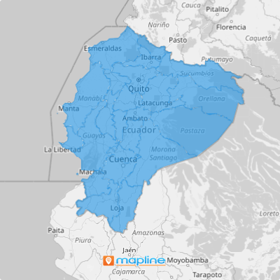
When you add Ecuador provinces to your map, you empower yourself to visualize how sales performance, territory assignments, or other key metrics compare to administrative boundaries within the country of Ecuador.
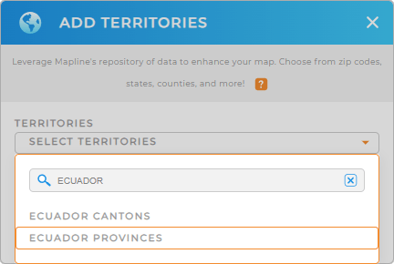
Simply add a new territory from Mapline’s repository, type ECUADOR into the searchbar, and select ECUADOR PROVINCES.
And that’s it! You’re almost done; there’s just one more quick step.


Pro Tip: Tap into Mapline’s worldwide repository of administrative boundaries to enrich your data analysis. Compare and contrast different territories, such as Ecuador cantons, to get a deeper understanding of your audience and operations within a given area.
CHOOSE PROVINCE COLORS
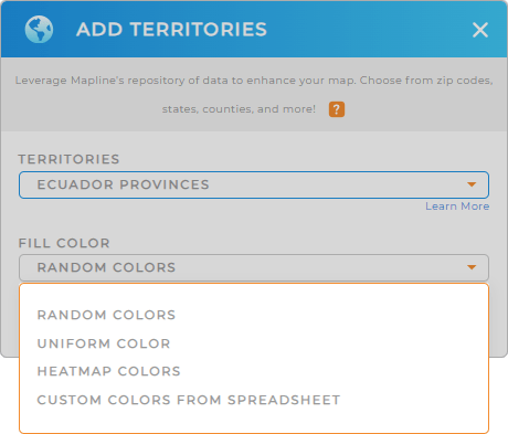
Now it’s time to turn your map into a visual powerhouse that you can leverage for instant insights. Adding custom color styles empowers you to visually differentiate between territories and data points in single glance. There’s no better way to hone in on new insights for your brand!
Just select your preferred color styling, then click OK.
And we’re done! Can you believe that? Now your map is ready to support in-depth analytics.

GET NEW TERRITORY INSIGHTS
But it doesn’t end there! Extract valuable information from your map of Ecuador provinces when you apply these capabilities:
- Hone in on specific categories with filters
- Create routes that optimize themselves and cut back on mileage
- Understand your target audience on a deeper level when you segment your audience


