ICELAND REGIONS
- Territory Guide
- ICELAND REGIONS
Mapping Iceland regions with your data produces a compelling visualization. Adding this territory to your map is especially helpful if you want to review growth trends, or know more about demographic shifts, or identify locations with the highest potential for your business prosperity.
Make these all happen now as we guide you through creating your first territory map. But first, let’s take a closer look at the regions of Iceland.
WHAT ARE ICELAND REGIONS?
Iceland is divided into 8 regions. These regions are used primarily for statistical purposes. However, understanding the region boundaries significantly helps in territory and data analysis on a granular level.
For example, if you head a sales and marketing department, it’s important to visualize your market share and customer base. Equally important is to understand how you fare in the competition. This region map lets you identify both your direct and indirect competitors. Think about that! With that information, you get to strategize more effectively.
ADD ICELAND REGIONS
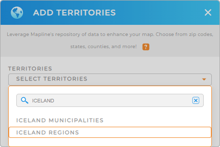
Let’s start with the first step – add a new territory from Mapline’s repository .
Then type ICELAND into the search bar and choose to click ICELAND REGIONS.
Just by doing that, you get to empower your map with limitless possibilities! This is the first step to analyzing trends, forecasting risks, and crafting business location strategies.


Pro Tip: In addition to region boundaries, you can also access Iceland municipality boundaries from Mapline’s Repository.
CHOOSE REGION COLORS
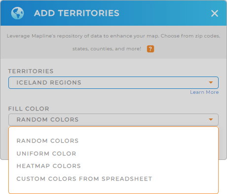
Now you’re almost done. There’s just one important step – that of applying color styles to your territories. You don’t want to miss this step because applying custom colors tells you a lot about your data.
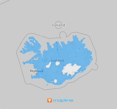
Once you’ve configured your settings, hit OK. Now sit back and watch how your map of Iceland regions shows key insights that may have been secretly hidden before within your territories without the colors applied.
Choose static colors to produce a visually striking map. Or choose dynamic colors if you want the colors updated whenever your data changes.

GET NEW TERRITORY INSIGHTS
Use these capabilities to make sure that you’re always in the know before you make location-based decisions for your business:
- Quickly generate the most effective routes
- Identify your high-performing stores when you sort your data
- Put your map pins into action when you apply pin styles in seconds
Go ahead and start exploring your map of Iceland regions.


