
Poland Municipality Map for Location Analysis
Territory Planning with Municipality-Level Mapping
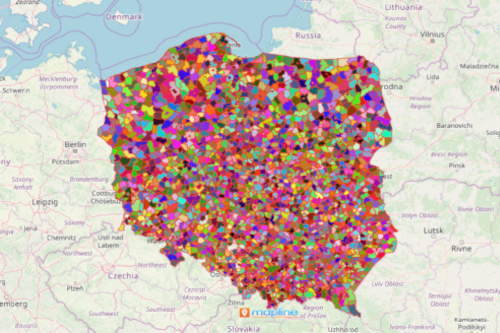
A Poland municipality map is a guide for start-ups and entrepreneurs to choose locations wisely and not just on a whim. Poland is a developed country located in Europe. It is divided into 300 counties which further divide into 2,478 municipalities. Smart entrepreneurs and start-up companies consult a map with municipality boundaries to help them drive success. The municipality map serves as a guide to help them understand the business under different factors.
A municipality-level boundary mapping is used for spatial analysis. More than that, a territory map coupled with Excel data of locations is used for spatial analysis. In addition, data driven-analysis is made more tailor-fit in business. Segmenting data allows you to have a clear picture of the local needs. Therefore, you can step up a notch to provide for the growing demands. You can also create multiple routes in seconds and discover what all your data has to offer. Customized routing makes it easy for you to find your way to your customers.
Site Analysis Starts with Municipality-Level Mapping
Start creating a map of Poland municipalities under a minute:
- Create a Mapline account and login.
- Click the orange “Add New Items” button.
- Select “New Map” on the drop down arrow.
- Give your map a name and click “OK.”
- Click the “Add” button from the left sidebar.
- Select the “Territories” option.
- Click “From Mapline’s Repository.”
- From the “Territories” select “Poland Municipalities (2019).” You can also enter that on the search bar.
- Select how you want your boundaries to be colored in “Fill Color” (Random Colors, Uniform Color, Dynamic heat map colors, or Custom colors from spreadsheet).
- Click “OK.”
Sign up now and see for yourself how your municipality map helps in targeting the most profitable areas or where emerging markets are located.