
See Strengths and Opportunities of Countries Through The Netherlands Country Map
Country-Level Mapping as a Powerful Visual Aid for Data Analysis
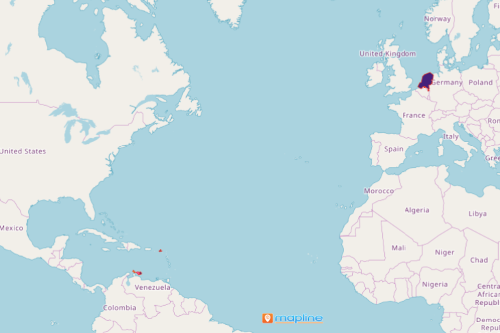
Using The Netherlands country map is crucial in planning and decision-making especially in the tourism industry. The Netherlands is a bustling hub of tourist attractions. It is made up of 4 centralized unitary states – Aruba, Curacao, Netherlands, and Sint Maarten. The economy is heavily dependent on tourism. Thus, having a map with country borders allows the users to see through the countries’ individual strengths and rooms for improvement in the tourism industry. Creating a territory map helps organizations to achieve their goals in terms of business growth. At the same time, it pinpoints ideas on how to promote community safety while promoting tourism.
Mapline’s mapping tools are designed to see through data. When used, these tools create a powerful visual aid to help with decision-making. Insights from mapping can be used when planning for beautification, improvement, marketing, and maintenance of tourist areas in each country.
Begin Your Country-Level Mapping Today!
Easily create your Netherlands country map in less than a minute. After which, you can readily add Excel location data to your map and start your data analysis:
- Create a Mapline account and login.
- Click the orange “Add New Items” button.
- Select “New Map” on the drop down arrow.
- Give your map a name and click “OK.”
- Click the “Add” button from the left sidebar.
- Select the “Territories” option.
- Click “From Mapline’s Repository.”
- From the “Territories” select “The Netherlands Constituent Countries.” You can also enter that on the search bar.
- Select how you want your boundaries to be colored in “Fill Color” (Random Colors, Uniform Color, Dynamic heat map colors, or Custom colors from spreadsheet).
- Click “OK.”
Focused territory analyses and marketing researches are some of the advantages that you gain with mapping. Sign up now and begin reaping the benefits of using powerful mapping tools.